 vesseltracker.com
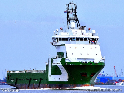
Vessel '311001020' IMO: 9386691, MMSI: 311001020
UTC, 7.99998, -56.87557, course: 75, speed: 4.4
UTC, 8.01500, -56.82846, course: 80, speed: 0.3
2026-01-30 05:31:49 UTC, 8.01494, -56.82842, course: 86, speed: 0.8
Live AIS position:
UTC. 102 nm NE of Enmore),
updated 2026-01-30 05:31:49 UTC.
Find the position of the vessel '311001020' on the map. The latter are known coordinates and path.
marine traffic ship tracker show on live map
The current position of vessel '311001020' is 8.01494 lat / -56.82842 lng. Updated: 2026-01-30 05:31:49 UTCDetails:
Last coordinates of the vessel:
UTC, 7.98355, -56.94911, course: 74, speed: 0.3UTC, 7.99998, -56.87557, course: 75, speed: 4.4
UTC, 8.01500, -56.82846, course: 80, speed: 0.3
2026-01-30 05:31:49 UTC, 8.01494, -56.82842, course: 86, speed: 0.8